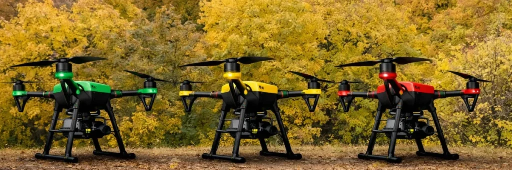
Green, Yellow, and Red Zones Explained for Drone Operations
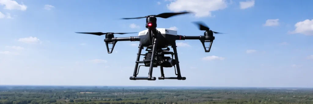
When people start using drones, one of the first things they need to understand is where they are allowed to fly. In India, drone flying is controlled through an airspace classification system shown on the Digital Sky airspace map. This map divides locations into Green Zone, Yellow Zone, and Red Zone. These zones help drone […]
Green, Yellow, and Red Zones Explained for Drone Operations Read More »