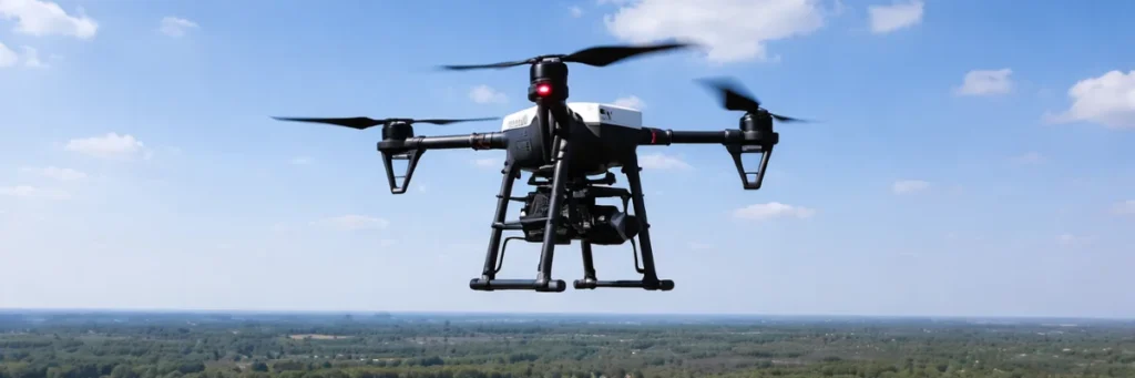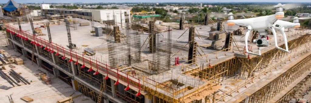
How Drone Mapping Helps Construction and Infrastructure Planning
Construction and infrastructure projects need accurate information from the beginning. Before any work starts, teams must understand the land, site conditions, boundaries, levels, and layout. If planning is based on incomplete or outdated information, it can lead to delays, rework, higher costs, and poor site decisions. This is where drone mapping is becoming very useful. […]
How Drone Mapping Helps Construction and Infrastructure Planning Read More »