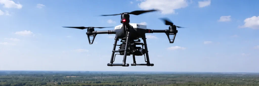
Why Drone Surveillance Is Faster Than Traditional Monitoring
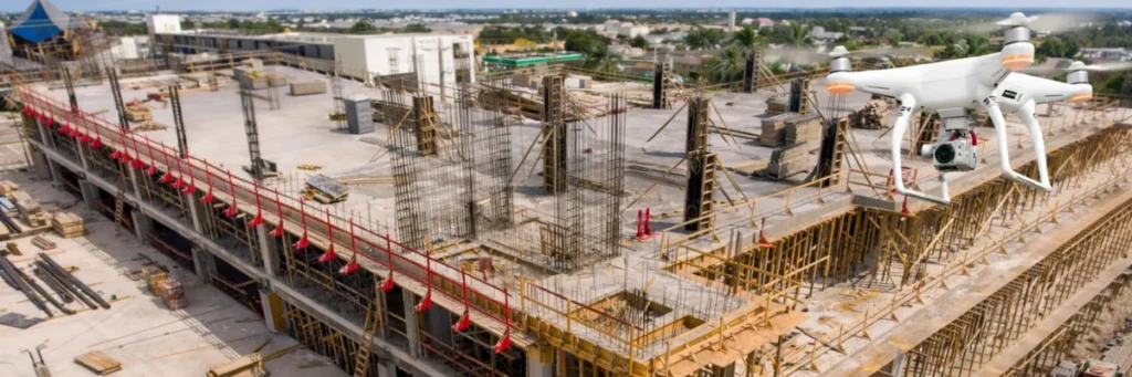
Security today depends on speed. When a problem happens, the team that sees it first and understands it quickly has the advantage. This is one reason drone surveillance is becoming more important. Compared to traditional monitoring methods, drone surveillance can cover areas faster, respond more quickly, and give real-time visibility from above. Traditional monitoring still […]
Why Drone Surveillance Is Faster Than Traditional Monitoring Read More »